Scan to BIM Conversion of Topography and Building
Case Study
Home / Scan to BIM Conversion of Topography and Building


Project Overview
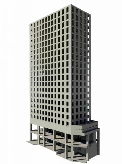
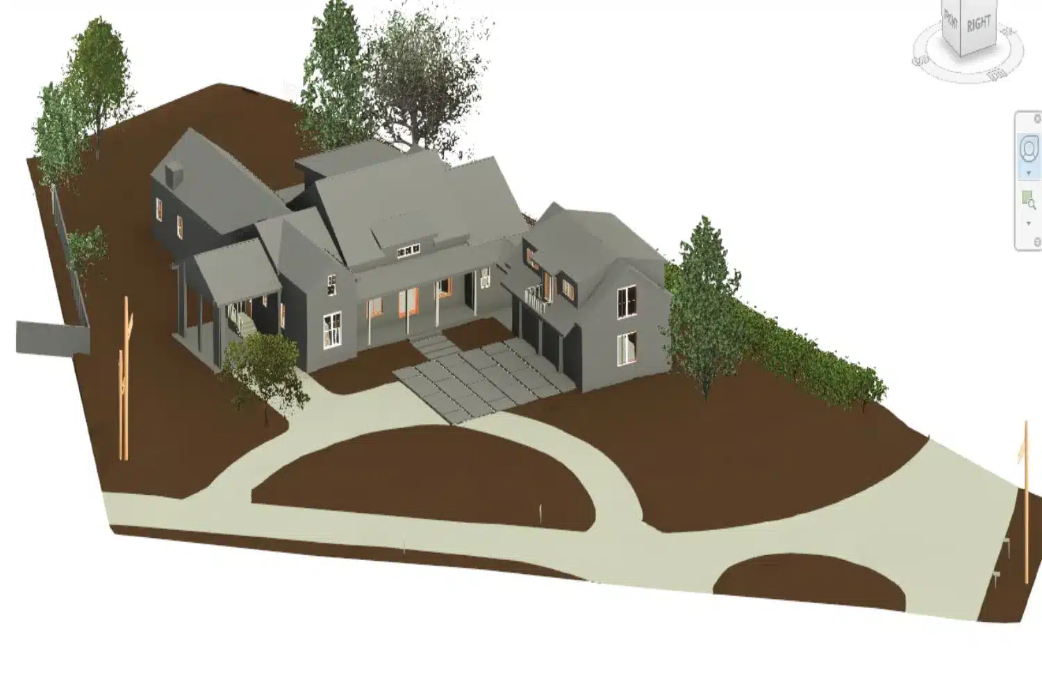
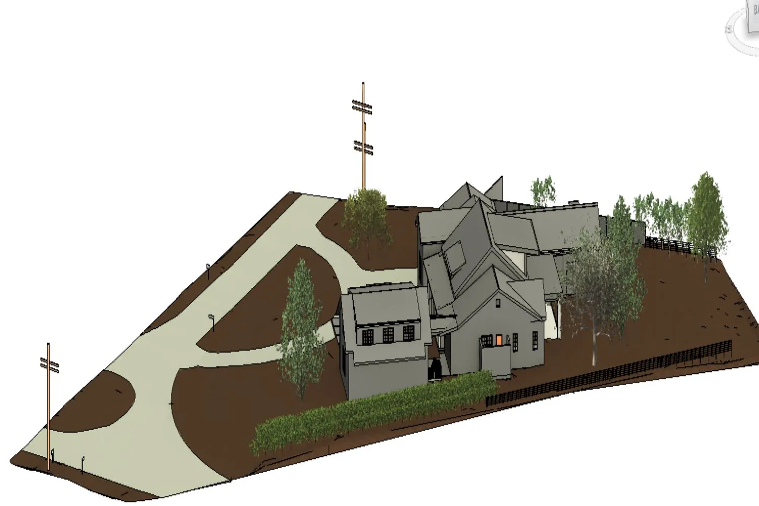
At CRESIRE, we are committed to delivering excellence in Building Information Modeling (BIM) consulting services. Our recent project involving the conversion of topography and a multi-story building into a precise Revit model with 2D CAD layouts is a testament to our proficiency in Scan to BIM technology.
In this case study, we delve into the details of this project, highlighting the value we added, the common challenges faced, and the exceptional results achieved.
Country | United States (USA) |
Industry | Site Surveying |
Service Provided | Scan to BIM |
Project Description
The project encompassed an area of 26,000 square feet, featuring a complex multi-story building and site modeling. Our primary objective was to transform the existing data into a highly accurate and comprehensive BIM model using point cloud to BIM modeling techniques.
Methodology
To initiate the project, the client employed laser scanning technology to capture precise data from the topography and the building’s structure—this involved scanning the site and the exterior of the structure, capturing intricate details and dimensions.
Developing the Revit Model and 2D CAD Layouts
Data Processing and Revit Modeling
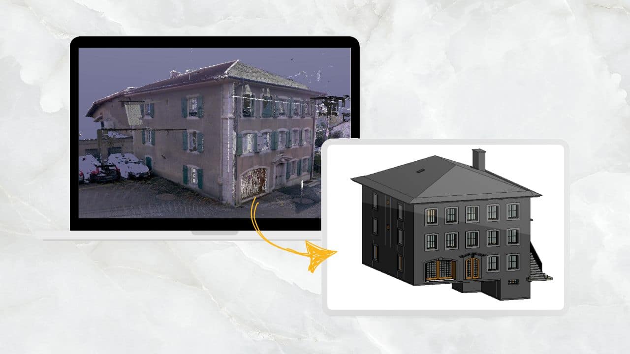
Once the scanning phase was completed, our team meticulously processed the captured data. This involved converting point cloud data into a Revit-compatible format.
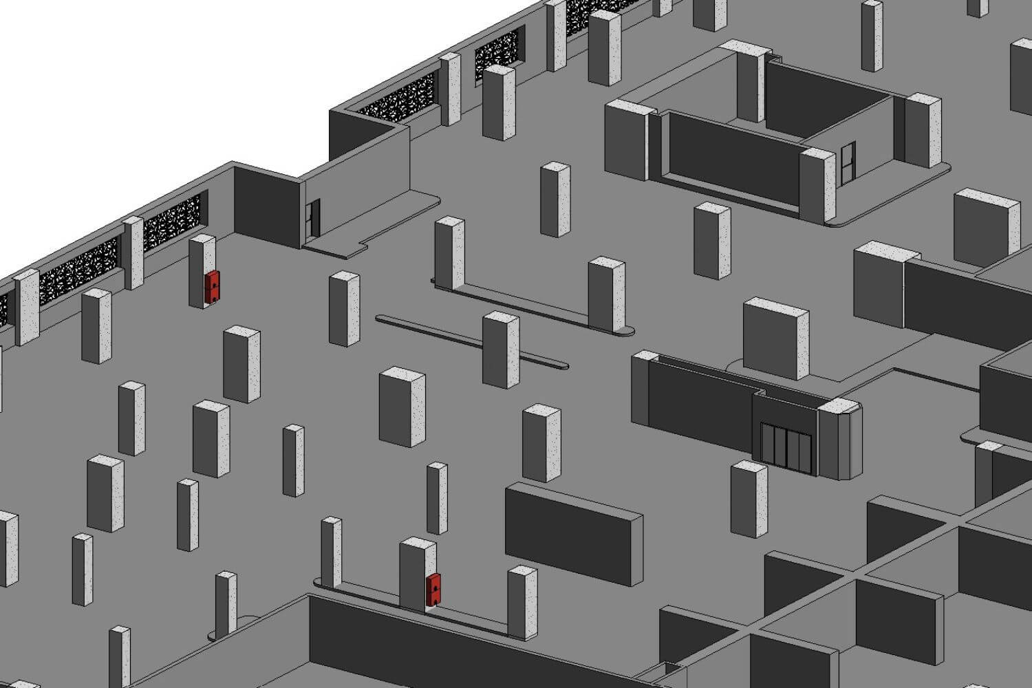
Our skilled modelers then began the task of creating a detailed BIM model of the building, incorporating all structural elements, MEP (Mechanical, Electrical, and Plumbing) components, and architectural details.
2D CAD Layouts
In addition to the 3D BIM Model, we generated high-quality 2D CAD layouts, ensuring that every floor plan, elevation, spot elevation, and section was accurate and aligned with industry standards. These layouts are invaluable for architects, engineers, and construction teams for their design and construction processes.
Let's Discuss Your Project Requirements
Values Added in the Scan to BIM Project
Effective Decision Making Amongst Stakeholders
One of the key values we added to this project was improved collaboration among all stakeholders. Our precise BIM model served as a central reference point for architects, engineers, and contractors, fostering better communication and reducing the likelihood of errors during construction.
Superior Site Planning
Using the Point Cloud to BIM a building and site model, the client was able to access and plan the redevelopment of the site more effectively. The CAD drawing extracted from the BIM model helped the client in annotating the critical details on site.
Data Accuracy
Our commitment to delivering highly accurate BIM models ensured that every measurement and detail was precise. This accuracy played a pivotal role in enhancing the project’s overall quality.
Common Challenges Faced
Data Cleanup
One of the challenges encountered in this project was the need for extensive data cleanup. Raw scan data often contains anomalies that require careful editing and refinement to ensure the accuracy of the BIM model.
Complex Geometry
The multi-story building featured intricate architectural elements and complex geometry. Modeling these accurately while maintaining performance efficiency presented its own set of challenges, which we successfully overcame through our expertise.
Coordination with Existing Structures
Integrating the new BIM model with existing structures and systems required meticulous planning and coordination. Our team ensured seamless integration to avoid clashes and conflicts during the construction phase.
Serving Every Continent

Get A Quote Now
Email Us
Let's Talk
USA & CANADA - (+1) 757 656 3274
UK & EUROPE - (+44) 7360 267087
INDIA - (+91) 63502 02061
